
1973 Map of House
USGS Topo · Published 1975About this map
House stands as the primary settlement on this High Plains landscape, situated along the winding course of Alamosa Creek. The 1973 topography reveals a rural community defined by its water management and agricultural infrastructure, evidenced by the numerous Well and Wells labels scattered across the sections of T. 5 N. and T. 6 N. The local economy and transportation of the early 1970s are further marked by several Gravel Pit operations and isolated Landing Strips north of town. For genealogists and local historians, the inclusion of the House Cem west of the town center provides a vital link to the families who settled this portion of Quay County. The map captures a moment when the grid of section lines and improved roads dictated the movement of goods and people through this drainage basin.
Find a feature on this map
11 named features on this map. Tap any name to fly to it.
Don’t see what you’re looking for? This feature index may not catch every label — zoom into the map to look around manually.
Map Details
Editions of this 1973 House Map
This is the sole edition of this map. No revisions or reprints were ever made.
Other maps of this area

1954 · Fort Sumner
USGS Topo · 1:250,000

1954 · Clovis
USGS Topo · 1:250,000

1958 · Fort Sumner
USGS Topo · 1:250,000

1958 · Clovis
USGS Topo · 1:250,000

1968 · Hassell
USGS Topo · 1:24,000

1968 · Ima SE
USGS Topo · 1:24,000

1968 · Candy Mesa
USGS Topo · 1:24,000

1970 · Jordan
USGS Topo · 1:24,000
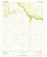
1970 · Cunavea Basin
USGS Topo · 1:24,000
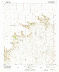
1973 · Peach Canyon
USGS Topo · 1:24,000