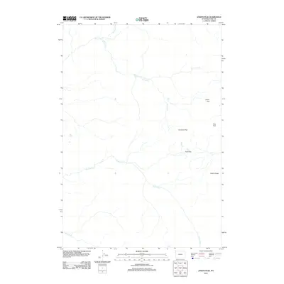
2012 Map of Joseph Peak
USGS Topo · Published 2012About this map
The Gallatin Range defines this high-elevation landscape in Park County, Wyoming, dominated by prominent summits and essential mountain passages. Two major peaks, Joseph Peak and Gray Peak, anchor the topography, while the Gallatin River and Grayling Cr drain the watershed. This area serves as a critical hydrological and migratory corridor, evidenced by high-mountain crossings like Snowshoe Pass and Fawn Pass.
Find a feature on this map
12 named features on this map. Tap any name to fly to it.
Don’t see what you’re looking for? This feature index may not catch every label — zoom into the map to look around manually.
Map Details
Editions of this 2012 Joseph Peak Map
This is the sole edition of this map. No revisions or reprints were ever made.
Other maps of this area

1885 · Gallatin
USGS Topo · 1:125,000

1885 · Gallatin
USGS Topo · 1:125,000

1888 · Three Forks
USGS Topo · 1:250,000

1891 · Livingston
USGS Topo · 1:250,000

1893 · Livingston
USGS Topo · 1:250,000

1894 · Three Forks
USGS Topo · 1:250,000

1895 · Three Forks
USGS Topo · 1:250,000

1901 · Gallatin
USGS Topo · 1:125,000

1908 · Gallatin
USGS Topo · 1:125,000

1911 · Gallatin
USGS Topo · 1:125,000