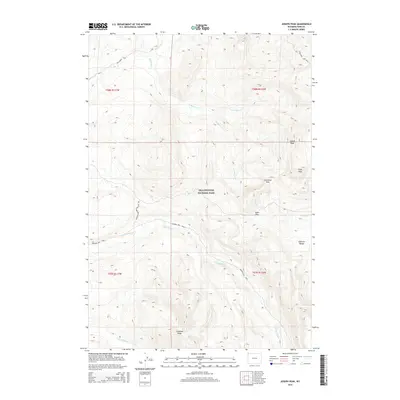
2015 Map of Joseph Peak
USGS Topo · Published 2015About this map
Yellowstone National Park dominates this high-altitude landscape in northwest Wyoming, where the dramatic peaks of the Gallatin Range define the local topography. This area is a significant hydrological hub, with the headwaters of the Gallatin River and numerous drainage systems like Stellaria Cr and Fan Cr carving through the mountain passes. The map documents an extensive network of historical backcountry routes, including the Bighorn Pass Trail and the Fan Creek Trail, which navigate the steep terrain between Snowshoe Pass and Fawn Pass. High points such as Joseph Peak and Gray Peak overlook Crowfoot Ridge, illustrating the complex glacial and volcanic geological history that shaped this portion of the American West. The survey provides a precise look at the wilderness character and watershed patterns that have remained largely undeveloped within the national park boundaries.
Find a feature on this map
22 named features on this map. Tap any name to fly to it.
Don’t see what you’re looking for? This feature index may not catch every label — zoom into the map to look around manually.
Map Details
Editions of this 2015 Joseph Peak Map
This is the sole edition of this map. No revisions or reprints were ever made.
Other maps of this area

1885 · Gallatin
USGS Topo · 1:125,000

1885 · Gallatin
USGS Topo · 1:125,000

1888 · Three Forks
USGS Topo · 1:250,000

1891 · Livingston
USGS Topo · 1:250,000

1893 · Livingston
USGS Topo · 1:250,000

1894 · Three Forks
USGS Topo · 1:250,000

1895 · Three Forks
USGS Topo · 1:250,000

1901 · Gallatin
USGS Topo · 1:125,000

1908 · Gallatin
USGS Topo · 1:125,000

1911 · Gallatin
USGS Topo · 1:125,000