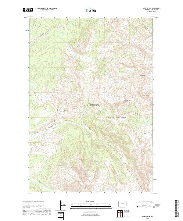
2021 Map of Joseph Peak
USGS Topo · Published 2021About this map
Yellowstone National Park encompasses this entire high-altitude landscape, dominated by the peaks and ridges of the Gallatin Range. The map documents a complex drainage system and trail network centered around Joseph Peak and Gray Peak, which stand as prominent topographic landmarks. Waterways like the Gallatin River and Grayling Cr flow through the valleys, fed by numerous tributaries such as Stellaria Cr and E Fork Fan Cr.
Find a feature on this map
24 named features on this map. Tap any name to fly to it.
Don’t see what you’re looking for? This feature index may not catch every label — zoom into the map to look around manually.
Map Details
Editions of this 2021 Joseph Peak Map
This is the sole edition of this map. No revisions or reprints were ever made.
Other maps of this area

1885 · Gallatin
USGS Topo · 1:125,000

1885 · Gallatin
USGS Topo · 1:125,000

1888 · Three Forks
USGS Topo · 1:250,000

1891 · Livingston
USGS Topo · 1:250,000

1893 · Livingston
USGS Topo · 1:250,000

1894 · Three Forks
USGS Topo · 1:250,000

1895 · Three Forks
USGS Topo · 1:250,000

1901 · Gallatin
USGS Topo · 1:125,000

1908 · Gallatin
USGS Topo · 1:125,000

1911 · Gallatin
USGS Topo · 1:125,000