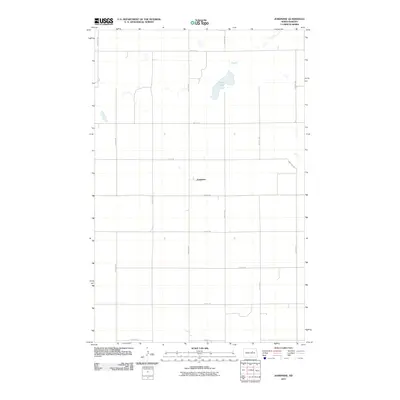
2011 Map of Josephine
USGS Topo · Published 2011About this map
The small settlement of Josephine serves as the central point of this Benson County landscape, situated at the crossing of 59th Ave Ne and 37th St Ne. This portion of North Dakota is defined by its precise section-line grid, where roads like 38th St Ne and 60th Ave Ne carve the prairie into predictable agricultural plots. The uniform geometry of the road network is interrupted only by natural water features, most notably Stony Lake in the northeastern quadrant. The map reflects a modern rural environment where the placement of farmstead access roads and the preservation of scattered wetlands demonstrate the persistent relationship between the local geography and the Great Plains farming economy during the early twenty-first century.
Find a feature on this map
16 named features on this map. Tap any name to fly to it.
Don’t see what you’re looking for? This feature index may not catch every label — zoom into the map to look around manually.
Map Details
Editions of this 2011 Josephine Map
This is the sole edition of this map. No revisions or reprints were ever made.
Other maps of this area

1931 · Oberon
USGS Topo · 1:62,500

1932 · Flora
USGS Topo · 1:62,500

1932 · Grahams Island
USGS Topo · 1:62,500

1950 · Oberon SW
USGS Topo · 1:24,000

1950 · Grahams Island
USGS Topo · 1:62,500

1950 · Oberon
USGS Topo · 1:62,500

1951 · Oberon
USGS Topo · 1:24,000

1951 · Flora SE
USGS Topo · 1:24,000

1951 · Minnewaukan East
USGS Topo · 1:24,000

1951 · Black Hammer Hill
USGS Topo · 1:24,000