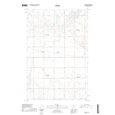
2017 Map of Josephine
USGS Topo · Published 2017About this map
Josephine sits at the heart of this Benson County landscape, a central point within a vast grid of township roads and section lines. The terrain is defined by the prairie potholes and depressions characteristic of this region, most notably Long Lake and Stony Lake in the northeastern reaches. These water bodies, along with the drainage of Peterson Coulee, dictate the local topography and the placement of rural infrastructure.
Find a feature on this map
25 named features on this map. Tap any name to fly to it.
Don’t see what you’re looking for? This feature index may not catch every label — zoom into the map to look around manually.
Map Details
Editions of this 2017 Josephine Map
This is the sole edition of this map. No revisions or reprints were ever made.
Other maps of this area

1931 · Oberon
USGS Topo · 1:62,500

1932 · Flora
USGS Topo · 1:62,500

1932 · Grahams Island
USGS Topo · 1:62,500

1950 · Oberon SW
USGS Topo · 1:24,000

1950 · Grahams Island
USGS Topo · 1:62,500

1950 · Oberon
USGS Topo · 1:62,500

1951 · Oberon
USGS Topo · 1:24,000

1951 · Flora SE
USGS Topo · 1:24,000

1951 · Minnewaukan East
USGS Topo · 1:24,000

1951 · Black Hammer Hill
USGS Topo · 1:24,000