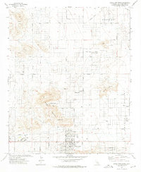
1972 Map of Joshua Tree North
USGS Topo · Published 1975About this map
Joshua Tree and the surrounding High Desert landscape are documented here during a period of expanding desert settlement in the early 1970s. The community is anchored by local landmarks such as Sportsmans Park and a Trailer Park near the central townsite, while the more remote Sunfair area to the east shows the grid of residential development pushing into Coyote Valley. The terrain is defined by the prominent Bartlett Mountains and the elevated reaches of Moonlight Mesa and Yucca Mesa.
Find a feature on this map
35 named features on this map. Tap any name to fly to it.
Don’t see what you’re looking for? This feature index may not catch every label — zoom into the map to look around manually.
Map Details
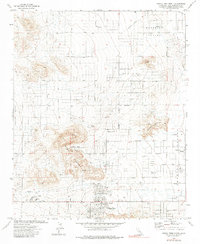
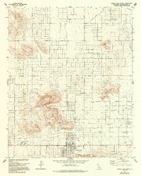
Editions of this 1972 Joshua Tree North Map
3 editions found
Other maps of this area

1953 · San Bernardino
USGS Topo · 1:250,000

1955 · Goat Mountain
USGS Topo · 1:24,000

1955 · Deadman Lake SW
USGS Topo · 1:24,000

1955 · Twentynine Palms
USGS Topo · 1:62,500

1955 · Emerson Lake
USGS Topo · 1:62,500
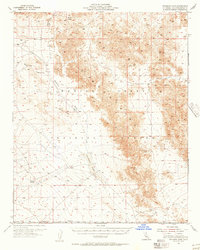
1955 · Deadman Lake
USGS Topo · 1:62,500

1955 · Joshua Tree
USGS Topo · 1:62,500

1956 · San Bernardino
USGS Topo · 1:250,000

1957 · San Bernardino
USGS Topo · 1:250,000

1958 · San Bernardino
USGS Topo · 1:250,000