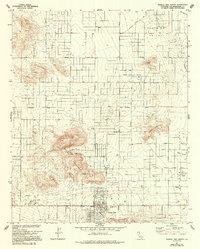
1972 Map of Joshua Tree North
USGS Topo · Published 1994About this map
The high desert community of Joshua Tree sits at the base of the Bartlett Mountains, serving as a focal point for this Mojave Desert landscape during the early 1970s. The grid system of the town contrasts with the natural formations of Joshua Cove and the rising heights of Bunker Mountain to the east. Local development is concentrated along corridors like Broadway and Twomile Road, where a Mobile Home Park and Sportsmans Park indicate a growing residential footprint.
Find a feature on this map
38 named features on this map. Tap any name to fly to it.
Don’t see what you’re looking for? This feature index may not catch every label — zoom into the map to look around manually.
Map Details
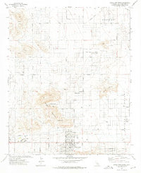
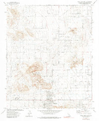
Editions of this 1972 Joshua Tree North Map
3 editions found
Other maps of this area

1953 · San Bernardino
USGS Topo · 1:250,000

1955 · Goat Mountain
USGS Topo · 1:24,000

1955 · Deadman Lake SW
USGS Topo · 1:24,000

1955 · Twentynine Palms
USGS Topo · 1:62,500

1955 · Emerson Lake
USGS Topo · 1:62,500
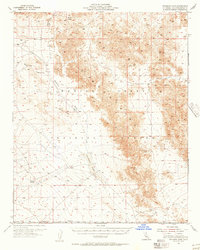
1955 · Deadman Lake
USGS Topo · 1:62,500

1955 · Joshua Tree
USGS Topo · 1:62,500

1956 · San Bernardino
USGS Topo · 1:250,000

1957 · San Bernardino
USGS Topo · 1:250,000

1958 · San Bernardino
USGS Topo · 1:250,000