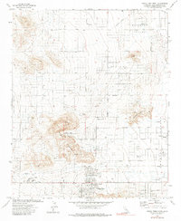
1972 Map of Joshua Tree North
USGS Topo · Published 1983About this map
The community of Joshua Tree serves as a central hub in this 1970s desert landscape, situated at the base of the Bartlett Mountains. The area exhibits a pattern of mid-century residential expansion, with a grid of planned streets such as Sunset Avenue and Broadway pushing into the arid basins of Coyote Valley and Surprise Valley. The heavy reliance on groundwater is evident through the numerous charted wells, including Well 2694 and Well 2735, which supported local development and the nearby Hi Desert Airport. Beyond the residential core, the map captures a landscape defined by prominent landforms like Moonlight Mesa and Bunker Mountain, alongside practical infrastructure like the Sewage Disposal Ponds and a Pipeline. This document provides a clear view of the Mojave's transition from a collection of isolated Prospects to a more established desert settlement.
Find a feature on this map
65 named features on this map. Tap any name to fly to it.
Don’t see what you’re looking for? This feature index may not catch every label — zoom into the map to look around manually.
Map Details
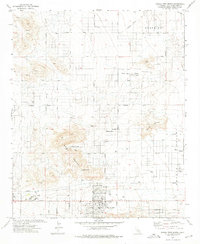
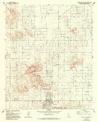
Editions of this 1972 Joshua Tree North Map
3 editions found
Other maps of this area

1953 · San Bernardino
USGS Topo · 1:250,000

1955 · Goat Mountain
USGS Topo · 1:24,000

1955 · Deadman Lake SW
USGS Topo · 1:24,000

1955 · Twentynine Palms
USGS Topo · 1:62,500

1955 · Emerson Lake
USGS Topo · 1:62,500
1955 · Deadman Lake
USGS Topo · 1:62,500

1955 · Joshua Tree
USGS Topo · 1:62,500

1956 · San Bernardino
USGS Topo · 1:250,000

1957 · San Bernardino
USGS Topo · 1:250,000

1958 · San Bernardino
USGS Topo · 1:250,000