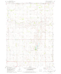
2021 Map of Joubert
USGS Topo · Published 2021About this map
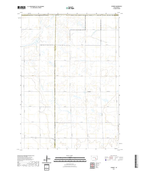
Joubert sits at the intersection of Co Hwy 560 and 375th Ave, serving as the primary landmark in this rural agricultural landscape on the border of Douglas County and Charles Mix County. The terrain is defined by a dense network of water management features designed to support the prairie's productivity, including the winding Meadow Drain and the extensive Sluiter Drain. The headwaters of the E Fork Platte Cr and Platte Creek carve gentle depressions through the sectional grid of gravel roads like 272nd St and 373rd Ave. This survey illustrates the persistent township and range system that dictates the placement of farmsteads and fields in South Dakota's heartland, where the legacy of early 20th-century water drainage projects remains visible in the modern topography.
Find a feature on this map
32 named features on this map. Tap any name to fly to it.
Don’t see what you’re looking for? This feature index may not catch every label — zoom into the map to look around manually.
Map Details
Editions of this 2021 Joubert Map
This is the sole edition of this map. No revisions or reprints were ever made.
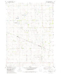
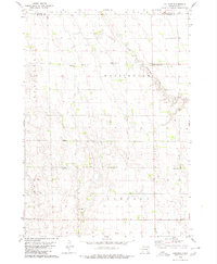
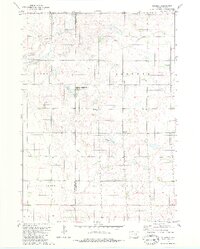
Historical Maps of Joubert Through Time
8 maps found
Featured Locations
- Center Township, SD
- Washington Township, SD
- Joubert Township, SD
- Darlington Township, SD
- Joubert, Joubert Township