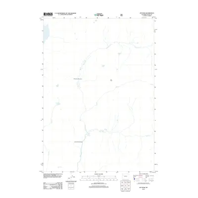
2012 Map of Joy Peak
USGS Topo · Published 2012About this map
Joy Peak dominates this high-elevation wilderness in Teton County, where a complex network of alpine lakes and meadows defines the headwaters of the Buffalo Fork. The landscape is characterized by its hydrothermal and hydrologic features, notably the North Buffalo Fork Springs and Soda Springs. These natural outflows feed into the N Buffalo Fork and Soda Fork, creating expansive wetlands such as Soda Fork Meadows and North Fork Meadows.
Find a feature on this map
15 named features on this map. Tap any name to fly to it.
Don’t see what you’re looking for? This feature index may not catch every label — zoom into the map to look around manually.
Map Details
Editions of this 2012 Joy Peak Map
This is the sole edition of this map. No revisions or reprints were ever made.
Other maps of this area

1885 · Lake
USGS Topo · 1:125,000

1895 · Lake
USGS Topo · 1:125,000

1896 · Lake
USGS Topo · 1:125,000

1901 · Lake
USGS Topo · 1:125,000

1902 · Mt Leidy
USGS Topo · 1:125,000

1906 · Lake
USGS Topo · 1:125,000

1911 · Lake
USGS Topo · 1:125,000

1955 · Ashton
USGS Topo · 1:250,000

1955 · Driggs
USGS Topo · 1:250,000

1958 · Driggs
USGS Topo · 1:250,000