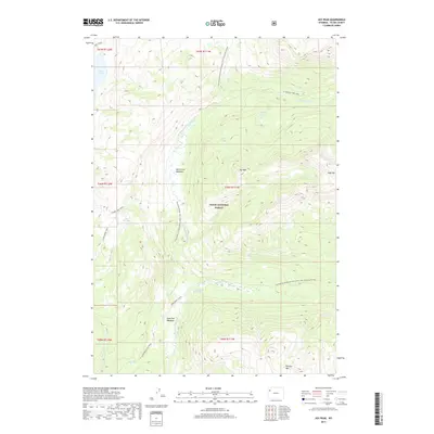
2017 Map of Joy Peak
USGS Topo · Published 2017About this map
Joy Peak and Soda Mtn anchor this high-altitude landscape within Teton National Forest during the mid-2010s. The topography is defined by the Continental Divide National Scenic Trail, which traverses the high ridges between drainage basins. High-country hydrology is central to the area, evidenced by the presence of North Buffalo Fork Springs and a series of alpine water bodies including Enos Lake, Divide Lake, and Toppan Lake. The map reveals a remote network of backcountry routes such as the Divide Lake Trail and the Soda Fork Cutoff that connect the North Fork Meadows with the Soda Fork Meadows. This survey illustrates the intricate drainage systems of the North Buffalo Fork and Soda Fork rivers, providing a detailed look at the wilderness geography before more modern forest management transitions.
Find a feature on this map
30 named features on this map. Tap any name to fly to it.
Don’t see what you’re looking for? This feature index may not catch every label — zoom into the map to look around manually.
Map Details
Editions of this 2017 Joy Peak Map
This is the sole edition of this map. No revisions or reprints were ever made.
Other maps of this area

1885 · Lake
USGS Topo · 1:125,000

1895 · Lake
USGS Topo · 1:125,000

1896 · Lake
USGS Topo · 1:125,000

1901 · Lake
USGS Topo · 1:125,000

1902 · Mt Leidy
USGS Topo · 1:125,000

1906 · Lake
USGS Topo · 1:125,000

1911 · Lake
USGS Topo · 1:125,000

1955 · Ashton
USGS Topo · 1:250,000

1955 · Driggs
USGS Topo · 1:250,000

1958 · Driggs
USGS Topo · 1:250,000