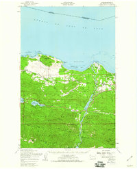
1950 Map of Joyce
USGS Topo · Published 1960About this map
Lake Sutherland and the adjacent Snug Harbor sit at the center of this 1950s survey, illustrating a landscape defined by the transition from the Strait of Juan de Fuca shoreline into the high peaks of the Olympic National Park. The Elwha River corridor is particularly prominent, featuring the Lake Aldwell reservoir, the Olympic Water Power Plant, and the Elwha Ranger Station further south. This era shows the local infrastructure still oriented around timber and topography, with the Old Piedmont Railroad Grade and various trails like the Happy Lake Ridge Trail cutting through the dense forest. Small communities such as Joyce, Ramapo, and Maple Grove appear alongside rural landmarks including the Crescent School and Ocean View Cem. The northern coast is marked by distinctive points like Tongue Point and Observatory Point, which overlook a Restricted Anchorage in Freshwater Bay.
Find a feature on this map
60 named features on this map. Tap any name to fly to it.
Don’t see what you’re looking for? This feature index may not catch every label — zoom into the map to look around manually.
Map Details
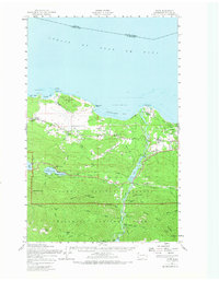
Editions of this 1950 Joyce Map
2 editions found
Other maps of this area

1918 · Port Angeles
USGS Topo · 1:62,500

1918 · Lake Crescent
USGS Topo · 1:62,500

1919 · Port Crescent
USGS Topo · 1:62,500

1922 · Lake Crescent
USGS Topo · 1:62,500

1935 · Mount Olympus
USGS Topo · 1:62,500

1938 · Mt Constance
USGS Topo · 1:125,000

1939 · Mount Tom
USGS Topo · 1:62,500

1941 · Port Angeles
USGS Topo · 1:62,500

1942 · Mount Olympus
USGS Topo · 1:62,500

1944 · Mt. Angeles
USGS Topo · 1:62,500