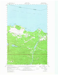
1950 Map of Joyce
USGS Topo · Published 1971About this map
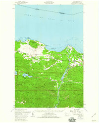
Lake Sutherland and Lake Crescent define the southern landscape of this 1950s study, where the Olympic National Park boundary meets the developing coastline of Clallam County. The map details a period when the Elwha River was still heavily utilized for utility generation, showing both Lake Aldwell and the Olympic Power Plant alongside the Lake Mills reservoir. Near the northern shore, the Old Piedmont Railroad Grade traces a path through Ramapo and Coville, marking the transition from early timber-hauling routes to the emerging State Highway 101 corridor. Small communities like Joyce and Piedmont are visible in their mid-century configurations, while the Lower Elwha area near Angeles Point shows the intersection of river, road, and the Strait of Juan de Fuca.
Find a feature on this map
60 named features on this map. Tap any name to fly to it.
Don’t see what you’re looking for? This feature index may not catch every label — zoom into the map to look around manually.
Map Details
Editions of this 1950 Joyce Map
2 editions found
Other maps of this area

1918 · Port Angeles
USGS Topo · 1:62,500

1918 · Lake Crescent
USGS Topo · 1:62,500

1919 · Port Crescent
USGS Topo · 1:62,500

1922 · Lake Crescent
USGS Topo · 1:62,500

1935 · Mount Olympus
USGS Topo · 1:62,500

1938 · Mt Constance
USGS Topo · 1:125,000

1939 · Mount Tom
USGS Topo · 1:62,500

1941 · Port Angeles
USGS Topo · 1:62,500

1942 · Mount Olympus
USGS Topo · 1:62,500

1944 · Mt. Angeles
USGS Topo · 1:62,500