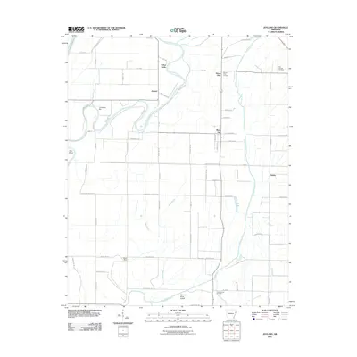
2011 Map of Joyland
USGS Topo · Published 2011About this map
The Saint Francis River and its meandering channel dominate this part of Crittenden County, carving a path through the alluvial landscape near Joyland. The map illustrates a region defined by its water systems, including the Tyronza River and Sand Slough, which shape the local drainage and agricultural patterns. Significant for genealogists, several local burial sites are identified across the quadrangle, including Mount Olive Cemetery in the north and King Solomon Cemetery further south.
Find a feature on this map
74 named features on this map. Tap any name to fly to it.
Don’t see what you’re looking for? This feature index may not catch every label — zoom into the map to look around manually.
Map Details
Editions of this 2011 Joyland Map
This is the sole edition of this map. No revisions or reprints were ever made.
Other maps of this area

1940 · Deckerville
USGS Topo · 1:62,500

1940 · Princedale
USGS Topo · 1:62,500

1940 · Dee
USGS Topo · 1:62,500

1941 · Marked Tree
USGS Topo · 1:62,500

1953 · Memphis
USGS Topo · 1:250,000

1956 · Marked Tree
USGS Topo · 1:62,500

1956 · Memphis
USGS Topo · 1:250,000

1956 · Princedale
USGS Topo · 1:62,500

1957 · Deckerville
USGS Topo · 1:62,500

1958 · Dee
USGS Topo · 1:62,500