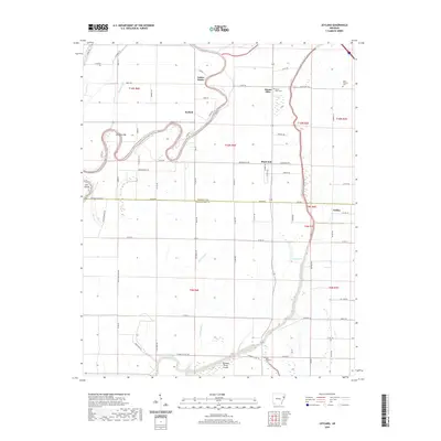
2020 Map of Joyland
USGS Topo · Published 2020About this map
The Saint Francis River and its winding oxbows define this corner of the Mississippi Delta along the border of Poinsett and Crittenden counties. The landscape is marked by the shifting path of the river, which has left behind prominent features like Cummins Bar and Cow Island. In this agricultural region, small communities such as Joyland and Black Oak are connected by a network of farm-to-market roads, including State Hwy 322 and Tacker Rd, which follows the county boundary line.
Find a feature on this map
79 named features on this map. Tap any name to fly to it.
Don’t see what you’re looking for? This feature index may not catch every label — zoom into the map to look around manually.
Map Details
Editions of this 2020 Joyland Map
This is the sole edition of this map. No revisions or reprints were ever made.
Other maps of this area

1940 · Deckerville
USGS Topo · 1:62,500

1940 · Princedale
USGS Topo · 1:62,500

1940 · Dee
USGS Topo · 1:62,500

1941 · Marked Tree
USGS Topo · 1:62,500

1953 · Memphis
USGS Topo · 1:250,000

1956 · Marked Tree
USGS Topo · 1:62,500

1956 · Memphis
USGS Topo · 1:250,000

1956 · Princedale
USGS Topo · 1:62,500

1957 · Deckerville
USGS Topo · 1:62,500

1958 · Dee
USGS Topo · 1:62,500