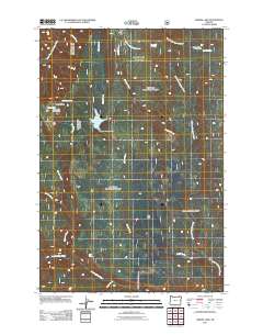
2011 Map of Jubilee Lake
USGS Topo · Published 2011About this map
Jubilee Lake sits at the center of this 2011 survey, controlled by the Jubilee Meadows Dam in a landscape defined by an intricate network of mountain drainages. The area serves as a significant recreational hub within the Umatilla National Forest, evidenced by the established Timothy Spring Campground and the Dusty Spring Forest Camp. High-elevation water sources such as Skookum Spring, Dusty Spring, and the oddly named No Name Spring feed the headwaters of several major river systems. The terrain transitions from the high ground of Dusty Ridge down into deep geological depressions like the Big Sink. The map traces the divergent paths of the South Fork Walla Walla River and the South Fork Wenaha River, illustrating the complex hydrology of this part of northeastern Oregon.
Find a feature on this map
21 named features on this map. Tap any name to fly to it.
Don’t see what you’re looking for? This feature index may not catch every label — zoom into the map to look around manually.
Map Details
Editions of this 2011 Jubilee Lake Map
This is the sole edition of this map. No revisions or reprints were ever made.
Other maps of this area

1953 · Pendleton
USGS Topo · 1:250,000

1955 · Grangeville
USGS Topo · 1:250,000

1956 · Pendleton
USGS Topo · 1:250,000

1959 · Grangeville
USGS Topo · 1:250,000

1963 · Big Meadows
USGS Topo · 1:24,000

1963 · Andies Prairie
USGS Topo · 1:24,000

1963 · Tollgate
USGS Topo · 1:24,000

1964 · Partridge Creek
USGS Topo · 1:24,000

1964 · Rondowa
USGS Topo · 1:24,000

1967 · Fry Meadow
USGS Topo · 1:24,000