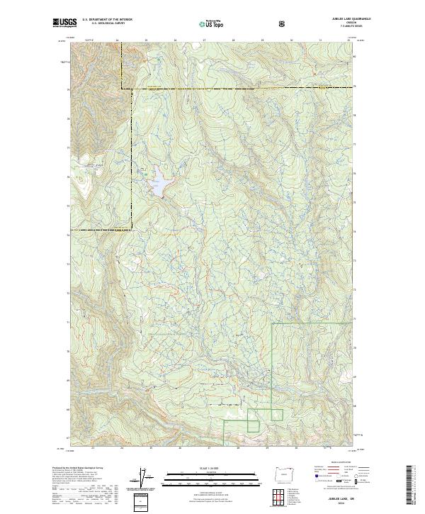
2024 Map of Jubilee Lake
USGS Topo · Published 2024About this map
Jubilee Lake serves as a central landmark in this high-altitude landscape where the boundaries of Wallowa, Union, and Umatilla counties meet. The terrain is defined by the headwaters of several major drainage systems, including the South Fork Walla Walla River and the South Fork Wenaha River. This modern survey illustrates the complex network of Forest Service management within the Umatilla National Forest and the Wenaha-Tucannon Wilderness, where the land is carved by deep canyons and prominent divides like Dusty Ridge and Eagle Ridge. High-country springs, such as Timothy Spring and Mottet Spring, provide the source water for creeks that feed the Columbia River Basin. The presence of features like Big Sink and an extensive trail system including the Jubilee Lake Trl and Mottet/Sinks Trl reflects the area's primary role for watershed protection and remote recreation in the Blue Mountains.
Find a feature on this map
40 named features on this map. Tap any name to fly to it.
Don’t see what you’re looking for? This feature index may not catch every label — zoom into the map to look around manually.
Map Details
Editions of this 2024 Jubilee Lake Map
This is the sole edition of this map. No revisions or reprints were ever made.
Other maps of this area

1953 · Pendleton
USGS Topo · 1:250,000

1955 · Grangeville
USGS Topo · 1:250,000

1956 · Pendleton
USGS Topo · 1:250,000

1959 · Grangeville
USGS Topo · 1:250,000

1963 · Big Meadows
USGS Topo · 1:24,000

1963 · Andies Prairie
USGS Topo · 1:24,000

1963 · Tollgate
USGS Topo · 1:24,000

1964 · Partridge Creek
USGS Topo · 1:24,000

1964 · Rondowa
USGS Topo · 1:24,000

1967 · Fry Meadow
USGS Topo · 1:24,000