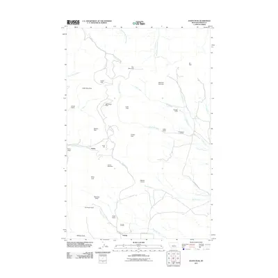
2011 Map of Judith Peak
USGS Topo · Published 2011About this map
The Judith Mountains dominate this high-plains landscape, centering on the prominent summit of Judith Peak. This 2011 survey illustrates the complex geography of the area, where the terrain falls away into numerous drainages including Maiden Canyon and the winding course of Maiden Creek. The map provides essential detail for local historians and genealogists, locating the small settlements of Maiden and Giltedge, along with their associated burial grounds at the Gilt Edge Cemetery and the Fort Maginnis Cemetery.
Find a feature on this map
38 named features on this map. Tap any name to fly to it.
Don’t see what you’re looking for? This feature index may not catch every label — zoom into the map to look around manually.
Map Details
Editions of this 2011 Judith Peak Map
This is the sole edition of this map. No revisions or reprints were ever made.
Other maps of this area

1941 · Lewistown
USGS Topo · 1:62,500

1941 · Judith Peak
USGS Topo · 1:62,500

1944 · Lewistown
USGS Topo · 1:62,500

1944 · Judith Peak
USGS Topo · 1:62,500

1954 · Lewistown
USGS Topo · 1:250,000

1959 · Lewistown
USGS Topo · 1:250,000

1978 · Lewistown
USGS Topo · 1:100,000

1985 · Fergus
USGS Topo · 1:24,000

1985 · Hilger
USGS Topo · 1:24,000

1985 · Armells
USGS Topo · 1:24,000