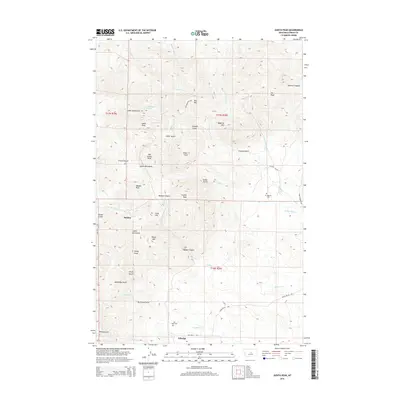
2014 Map of Judith Peak
USGS Topo · Published 2014About this map
Maiden and Giltedge anchor this high-elevation terrain within the Judith Mountains, where steep gulches and prominent peaks defined the mining and settlement patterns of central Montana. The map documents a landscape carved by waterways like Chippewa Cr and Armells Cr, which flow through deep incisions such as Maiden Canyon and Collar Gulch. These natural corridors historically provided the primary access routes into the mineral-rich mountains, connecting the valley floors to the high summits of Judith Peak and Big Grassy Peak.
Find a feature on this map
45 named features on this map. Tap any name to fly to it.
Don’t see what you’re looking for? This feature index may not catch every label — zoom into the map to look around manually.
Map Details
Editions of this 2014 Judith Peak Map
This is the sole edition of this map. No revisions or reprints were ever made.
Other maps of this area

1941 · Lewistown
USGS Topo · 1:62,500

1941 · Judith Peak
USGS Topo · 1:62,500

1944 · Lewistown
USGS Topo · 1:62,500

1944 · Judith Peak
USGS Topo · 1:62,500

1954 · Lewistown
USGS Topo · 1:250,000

1959 · Lewistown
USGS Topo · 1:250,000

1978 · Lewistown
USGS Topo · 1:100,000

1985 · Fergus
USGS Topo · 1:24,000

1985 · Hilger
USGS Topo · 1:24,000

1985 · Armells
USGS Topo · 1:24,000