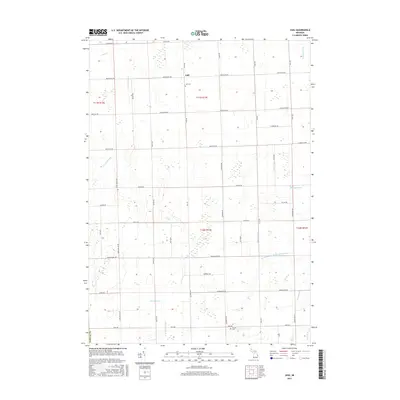
2017 Map of Juhl
USGS Topo · Published 2017About this map
The settlement of Juhl sits at the center of this agricultural landscape in Sanilac County, where a highly engineered network of drainage ditches supports the region's farming heritage. This 2017 survey reveals the intricate water management system required for the Michigan Thumb's low-lying terrain, including the Elk Flynn and Maple Valley Drain, Welch Drain, and Setter Drain. These channels flow into larger natural arteries like the S Br Cass River and Elk Creek.
Find a feature on this map
38 named features on this map. Tap any name to fly to it.
Don’t see what you’re looking for? This feature index may not catch every label — zoom into the map to look around manually.
Map Details
Editions of this 2017 Juhl Map
This is the sole edition of this map. No revisions or reprints were ever made.
Other maps of this area

1954 · Flint
USGS Topo · 1:250,000

1958 · Flint
USGS Topo · 1:250,000

1961 · Brown City
USGS Topo · 1:24,000

1961 · Yale
USGS Topo · 1:24,000

1963 · Snover
USGS Topo · 1:24,000

1963 · Sandusky
USGS Topo · 1:24,000

1963 · Peck
USGS Topo · 1:24,000

1963 · Juhl
USGS Topo · 1:24,000

1963 · Marlette
USGS Topo · 1:24,000

1963 · Burnside
USGS Topo · 1:24,000