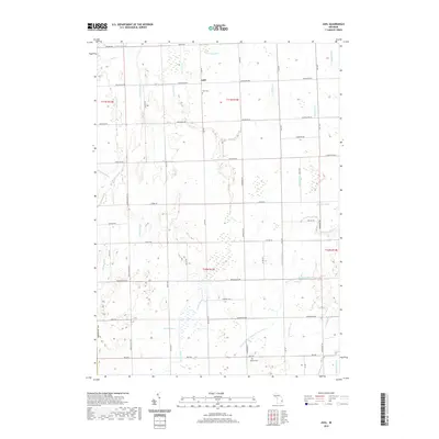
2019 Map of Juhl
USGS Topo · Published 2019About this map
The settlement of Juhl lies at the heart of this agricultural landscape in Sanilac County, defined by an intricate network of waterways and county roads. The terrain is crisscrossed by numerous managed watercourses, including the Setter Drain, Frasier Drain, and the expansive Elk Flynn and Maple Valley Drain, which support the region's long-standing farming operations. These drainage systems characterize the transition from the headwaters of the S Br Cass River into the surrounding fields. Genealogists and local historians can locate established landmarks such as Juhl Cem near the town center and Omard Cem to the southeast. The map reveals a strictly gridded road system, where names like McGill Rd, Juhl Rd, and Applegate Rd mark the boundaries of rural properties and historic townships.
Find a feature on this map
63 named features on this map. Tap any name to fly to it.
Don’t see what you’re looking for? This feature index may not catch every label — zoom into the map to look around manually.
Map Details
Editions of this 2019 Juhl Map
This is the sole edition of this map. No revisions or reprints were ever made.
Other maps of this area

1954 · Flint
USGS Topo · 1:250,000

1958 · Flint
USGS Topo · 1:250,000

1961 · Brown City
USGS Topo · 1:24,000

1961 · Yale
USGS Topo · 1:24,000

1963 · Snover
USGS Topo · 1:24,000

1963 · Sandusky
USGS Topo · 1:24,000

1963 · Peck
USGS Topo · 1:24,000

1963 · Juhl
USGS Topo · 1:24,000

1963 · Marlette
USGS Topo · 1:24,000

1963 · Burnside
USGS Topo · 1:24,000