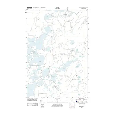
2011 Map of Julia Lake
USGS Topo · Published 2011About this map
The Eagle River watershed dominates this Northern Wisconsin landscape, connecting an intricate chain of lakes including Julia Lake, Big Fork Lake, and Lone Stone Lake. The water-centric nature of the region is evident in specialized transportation infrastructure like the Three Lakes Seaplane Base and the nearby Three Lakes Municipal Airport. These facilities, alongside the Laurel Lake Campground, reflect a landscape heavily shaped by seasonal recreation and water access.
Find a feature on this map
73 named features on this map. Tap any name to fly to it.
Don’t see what you’re looking for? This feature index may not catch every label — zoom into the map to look around manually.
Map Details
Editions of this 2011 Julia Lake Map
This is the sole edition of this map. No revisions or reprints were ever made.
Other maps of this area

1928 · Three Lakes
USGS Topo · 1:48,000

1938 · Alvin
USGS Topo · 1:48,000

1938 · Three Lakes
USGS Topo · 1:48,000

1939 · Crandon
USGS Topo · 1:48,000

1940 · Monico
USGS Topo · 1:48,000

1941 · Crandon
USGS Topo · 1:48,000

1945 · Three Lakes
USGS Topo · 1:48,000

1946 · Alvin
USGS Topo · 1:48,000

1947 · Crandon
USGS Topo · 1:48,000

1950 · Monico
USGS Topo · 1:48,000