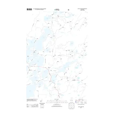
2013 Map of Julia Lake
USGS Topo · Published 2013About this map
Julia Lake and the interconnected waters of Oneida County anchor this landscape, where recreation and conservation meet in the Wisconsin Northwoods. The map reveals a sophisticated network of glacial lakes including Virgin Lake, Whitefish Lake, and Sevenmile Lake, joined by natural connectors like the Thoroughfare. Local infrastructure is anchored by the Three Lakes Municipal Airport and the corridor of State Hwy 32, which facilitates access to public sites like the Laurel Lake Campground and the Scott-Shelp Lake Hemlock Grove Point of Interest. Historical transport routes are also visible, most notably Military Rd and Old Military Rd, which cut through the timber and wetlands north of the Scott Cr Impoundment and the Hay Meadow Flowage.
Find a feature on this map
69 named features on this map. Tap any name to fly to it.
Don’t see what you’re looking for? This feature index may not catch every label — zoom into the map to look around manually.
Map Details
Editions of this 2013 Julia Lake Map
This is the sole edition of this map. No revisions or reprints were ever made.
Other maps of this area

1928 · Three Lakes
USGS Topo · 1:48,000

1938 · Alvin
USGS Topo · 1:48,000

1938 · Three Lakes
USGS Topo · 1:48,000

1939 · Crandon
USGS Topo · 1:48,000

1940 · Monico
USGS Topo · 1:48,000

1941 · Crandon
USGS Topo · 1:48,000

1945 · Three Lakes
USGS Topo · 1:48,000

1946 · Alvin
USGS Topo · 1:48,000

1947 · Crandon
USGS Topo · 1:48,000

1950 · Monico
USGS Topo · 1:48,000