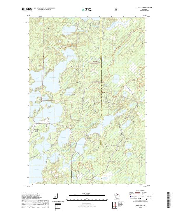
2022 Map of Julia Lake
USGS Topo · Published 2022About this map
Nicolet National Forest dominates the landscape of this Oneida County recreation area, where a dense network of glacial lakes and waterways has long defined the local character. Large water bodies like Big Stone Lake, Fourmile Lake, and Julia Lake are interconnected by channels such as The Thoroughfare, illustrating a complex hydrological system that supports both seasonal tourism and local transit. The topography is further marked by specialized infrastructure, including the Three Lakes Municipal Airport and a diverse trail system featuring the Sam Campbell Memorial Trl and the Bailey Lake Equestrian Trl. Land ownership and boundary lines between Oneida Co and Forest Co bisect the woodland, while smaller features like the Scott Cr Impoundment and Whitefish Lake highlight the area's many smaller basins and marshy edges.
Find a feature on this map
79 named features on this map. Tap any name to fly to it.
Don’t see what you’re looking for? This feature index may not catch every label — zoom into the map to look around manually.
Map Details
Editions of this 2022 Julia Lake Map
This is the sole edition of this map. No revisions or reprints were ever made.
Other maps of this area

1928 · Three Lakes
USGS Topo · 1:48,000

1938 · Alvin
USGS Topo · 1:48,000

1938 · Three Lakes
USGS Topo · 1:48,000

1939 · Crandon
USGS Topo · 1:48,000

1940 · Monico
USGS Topo · 1:48,000

1941 · Crandon
USGS Topo · 1:48,000

1945 · Three Lakes
USGS Topo · 1:48,000

1946 · Alvin
USGS Topo · 1:48,000

1947 · Crandon
USGS Topo · 1:48,000

1950 · Monico
USGS Topo · 1:48,000