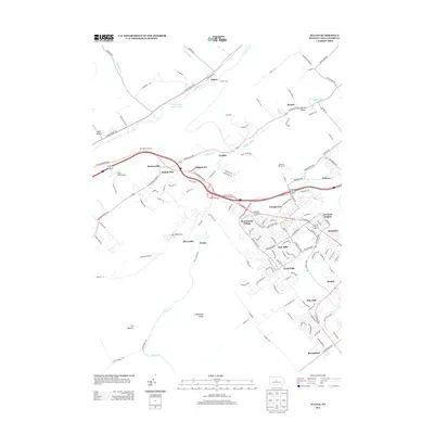
2013 Map of Julian
USGS Topo · Published 2013About this map
Bald Eagle Creek and the Foster Joseph Sayers Lake dominate the northern landscape of this Centre County quadrangle, where the community of Julian sits at the foot of the ridge. The area showcases a transition from the agricultural and timbered slopes of Nittany Valley to the suburban expansion near State College. Pockets of development like Park Forest Village, Woodycrest, and Toftrees illustrate the modern residential growth patterns, while older locations such as Scotia and Waddle hint at the region's earlier industrial and rural foundations.
Find a feature on this map
142 named features on this map. Tap any name to fly to it.
Don’t see what you’re looking for? This feature index may not catch every label — zoom into the map to look around manually.
Map Details
Editions of this 2013 Julian Map
This is the sole edition of this map. No revisions or reprints were ever made.
Other maps of this area

1908 · Bellefonte
USGS Topo · 1:62,500

1909 · Bellefonte
USGS Topo · 1:62,500

1919 · Menno
USGS Topo · 1:62,500

1922 · Philipsburg
USGS Topo · 1:62,500

1923 · Tyrone
USGS Topo · 1:62,500

1929 · Tyrone
USGS Topo · 1:48,000

1933 · Tyrone
USGS Topo · 1:62,500

1935 · Allensville
USGS Topo · 1:62,500

1938 · Allensville
USGS Topo · 1:62,500

1939 · Philipsburg
USGS Topo · 1:62,500