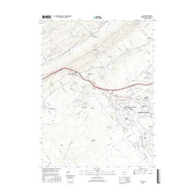
2016 Map of Julian
USGS Topo · Published 2016About this map
Nittany Valley serves as a central corridor for suburban expansion and rural homesteads northwest of State College. This 2016 survey highlights the complex spatial relationship between the modern residential developments of Park Forest Village and Toftrees and the older, established hamlets like Waddle and Matternville. To the north, Bald Eagle Mountain creates a massive natural barrier, forcing transportation and settlement into the valley floors along Bald Eagle Creek and Buffalo Run. For genealogists, the map provides precise locations for several small burial grounds, including Henderson Cem and Grays Cem. The southwestern portion of the sheet is dominated by The Barrens and Gatesburg Ridge, where the landscape remains notably less developed compared to the rapid growth seen in Overlook Heights and Krumrine.
Find a feature on this map
167 named features on this map. Tap any name to fly to it.
Don’t see what you’re looking for? This feature index may not catch every label — zoom into the map to look around manually.
Map Details
Editions of this 2016 Julian Map
This is the sole edition of this map. No revisions or reprints were ever made.
Other maps of this area

1908 · Bellefonte
USGS Topo · 1:62,500

1909 · Bellefonte
USGS Topo · 1:62,500

1919 · Menno
USGS Topo · 1:62,500

1922 · Philipsburg
USGS Topo · 1:62,500

1923 · Tyrone
USGS Topo · 1:62,500

1929 · Tyrone
USGS Topo · 1:48,000

1933 · Tyrone
USGS Topo · 1:62,500

1935 · Allensville
USGS Topo · 1:62,500

1938 · Allensville
USGS Topo · 1:62,500

1939 · Philipsburg
USGS Topo · 1:62,500