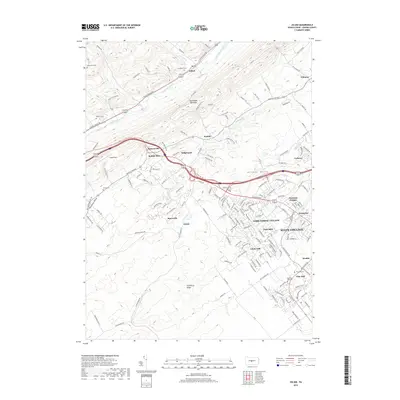
2019 Map of Julian
USGS Topo · Published 2019About this map
Bald Eagle Mountain dominates the northwestern landscape of this Centre County survey, creating a physical divide between the Bald Eagle Creek valley and the Nittany Valley to the southeast. Along the northern corridor, the village of Julian sits at the junction of S Eagle Valley Rd and Julian Pike, while the southern portion of the sheet documents the expanding residential footprint of State College and its suburban satellite communities.
Find a feature on this map
165 named features on this map. Tap any name to fly to it.
Don’t see what you’re looking for? This feature index may not catch every label — zoom into the map to look around manually.
Map Details
Editions of this 2019 Julian Map
This is the sole edition of this map. No revisions or reprints were ever made.
Other maps of this area

1908 · Bellefonte
USGS Topo · 1:62,500

1909 · Bellefonte
USGS Topo · 1:62,500

1919 · Menno
USGS Topo · 1:62,500

1922 · Philipsburg
USGS Topo · 1:62,500

1923 · Tyrone
USGS Topo · 1:62,500

1929 · Tyrone
USGS Topo · 1:48,000

1933 · Tyrone
USGS Topo · 1:62,500

1935 · Allensville
USGS Topo · 1:62,500

1938 · Allensville
USGS Topo · 1:62,500

1939 · Philipsburg
USGS Topo · 1:62,500