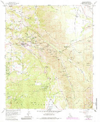
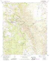
1960 Map of Julian
USGS Topo · Published 1985About this map
Julian and its surrounding gold mining districts define this mid-century look at the San Diego back country. The landscape is dominated by the steep descent of Banner Canyon and Chariot Canyon, where a dense concentration of mineral claims like the Golden Chariot Mine, Ready Relief Mine, and Cincinnati Belle Mine trace the region's hard-rock mining legacy. The transition from the timbered heights of the Volcan Mountains to the arid edge of Anza-Borrego Desert State Park is clearly marked by shifting terrain and vegetation patterns. In the southern reach, the Cuyamaca Mountains rise above the Cuyamaca Reservoir, while smaller communities like Whispering Pines and Kentwood-In-The-Pines show the mid-century growth of mountain retreats. For genealogists, the map preserves locations such as Julian Cem and the Julian High Sch.
Find a feature on this map
88 named features on this map. Tap any name to fly to it.
Don’t see what you’re looking for? This feature index may not catch every label — zoom into the map to look around manually.
Map Details
Editions of this 1960 Julian Map
5 editions found
Other maps of this area

1903 · Cuyamaca
USGS Topo · 1:125,000

1903 · Ramona
USGS Topo · 1:125,000

1904 · Southern California Sheet No. 2
USGS Topo · 1:250,000

1931 · Vallecito
USGS Topo · 1:125,000

1931 · Carrizo
USGS Topo · 1:125,000

1939 · Santa Ysabel
USGS Topo · 1:62,500

1939 · Borrego
USGS Topo · 1:62,500

1942 · Borego
USGS Topo · 1:62,500

1942 · Cuyapaipe
USGS Topo · 1:62,500

1942 · Cuyamaca Peak
USGS Topo · 1:62,500