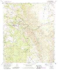
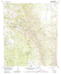
1960 Map of Julian
USGS Topo · Published 1988About this map
Julian stands as a hub of mining history on this map, which shows the town and its surrounding landscape just before the 1960s. The dense concentration of gold-era excavations like the Golden Chariot Mine, High Peak Mine, and Washington Mine underscores the region's industrial heritage. Beyond the town center, residential developments like Whispering Pines and Kentwood-In-The-Pines show the mid-century growth of the area.
Find a feature on this map
87 named features on this map. Tap any name to fly to it.
Don’t see what you’re looking for? This feature index may not catch every label — zoom into the map to look around manually.
Map Details
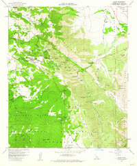
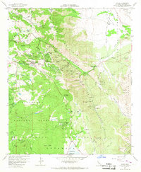
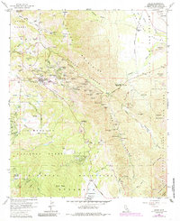
Editions of this 1960 Julian Map
5 editions found
Other maps of this area

1903 · Cuyamaca
USGS Topo · 1:125,000

1903 · Ramona
USGS Topo · 1:125,000

1904 · Southern California Sheet No. 2
USGS Topo · 1:250,000

1931 · Vallecito
USGS Topo · 1:125,000

1931 · Carrizo
USGS Topo · 1:125,000

1939 · Santa Ysabel
USGS Topo · 1:62,500

1939 · Borrego
USGS Topo · 1:62,500

1942 · Borego
USGS Topo · 1:62,500

1942 · Cuyapaipe
USGS Topo · 1:62,500

1942 · Cuyamaca Peak
USGS Topo · 1:62,500