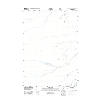
2011 Map of Jumbo Mountain
USGS Topo · Published 2011About this map
Jumbo Mountain dominates the northwestern terrain of this high-elevation landscape on the Montana-Idaho border, where a complex network of alpine drainage basins feeds the headwaters of numerous creeks. The geography is defined by its water systems, notably the Twin Lakes which serve as a focal point for recreation and forest management. Near these lakes, the Twin Lakes Campground and the Twin Lakes Forest Service station indicate the area's role in public land administration and seasonal outdoor use.
Find a feature on this map
18 named features on this map. Tap any name to fly to it.
Don’t see what you’re looking for? This feature index may not catch every label — zoom into the map to look around manually.
Map Details
Editions of this 2011 Jumbo Mountain Map
This is the sole edition of this map. No revisions or reprints were ever made.
Other maps of this area

1955 · Dillon
USGS Topo · 1:250,000

1957 · Dillon
USGS Topo · 1:250,000

1958 · Dillon
USGS Topo · 1:250,000

1962 · Dillon
USGS Topo · 1:250,000

1965 · Dillon
USGS Topo · 1:250,000

1966 · Badger Spring Gulch
USGS Topo · 1:24,000

1966 · Shewag Lake
USGS Topo · 1:24,000

1966 · Miner Lake
USGS Topo · 1:24,000

1966 · Jumbo Mountain
USGS Topo · 1:24,000

1966 · Big Hole Pass
USGS Topo · 1:24,000