
1966 Map of Jumbo Mountain
USGS Topo · Published 1970About this map
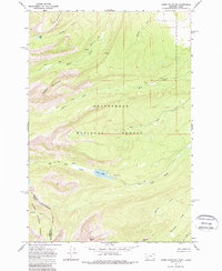
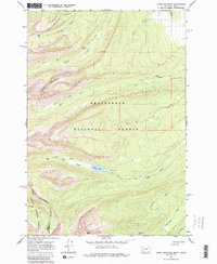
Beaverhead National Forest defines this high-elevation landscape along the border of Montana and Idaho. The Continental Divide winds through the southwestern corner, serving as a natural boundary between the Salmon National Forest and the Beaverhead. The terrain is marked by prominent peaks such as Jumbo Mountain and Squaw Mtn, with a network of Pack Trails providing the primary access to the backcountry. Water resources are plentiful, including Ovis Lake and the Twin Lakes at the headwaters of Big Lake Creek. The presence of the Slag-a-melt Mine and Slag-a-melt Creek in the south suggests early mineral exploration in these remote drainages, while names like Sawmill Creek point to the historic timber and resource use that sustained local mountain economies.
Find a feature on this map
23 named features on this map. Tap any name to fly to it.
Don’t see what you’re looking for? This feature index may not catch every label — zoom into the map to look around manually.
Map Details
Editions of this 1966 Jumbo Mountain Map
3 editions found
Other maps of this area

1955 · Dillon
USGS Topo · 1:250,000

1957 · Dillon
USGS Topo · 1:250,000

1958 · Dillon
USGS Topo · 1:250,000

1962 · Dillon
USGS Topo · 1:250,000

1965 · Dillon
USGS Topo · 1:250,000

1966 · Badger Spring Gulch
USGS Topo · 1:24,000

1966 · Shewag Lake
USGS Topo · 1:24,000

1966 · Miner Lake
USGS Topo · 1:24,000

1966 · Big Hole Pass
USGS Topo · 1:24,000
1966 · Ajax Ranch
USGS Topo · 1:24,000