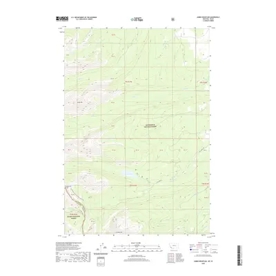
2020 Map of Jumbo Mountain
USGS Topo · Published 2020About this map
The Continental Divide winds along the crest of the Bitterroot Range, marking the high-altitude border between Beaverhead County, Montana, and Lemhi County, Idaho. This remote mountain landscape is defined by its dramatic hydrology, where seasonal drainages like Slag-a-melt Cr and Big Swamp Cr flow from the timbered slopes. High-elevation basins hold secluded water bodies such as Ovis Lake and the prominent Twin Lakes, which are accessible via the rugged Twin Lakes Rd.
Find a feature on this map
37 named features on this map. Tap any name to fly to it.
Don’t see what you’re looking for? This feature index may not catch every label — zoom into the map to look around manually.
Map Details
Editions of this 2020 Jumbo Mountain Map
This is the sole edition of this map. No revisions or reprints were ever made.
Other maps of this area

1955 · Dillon
USGS Topo · 1:250,000

1957 · Dillon
USGS Topo · 1:250,000

1958 · Dillon
USGS Topo · 1:250,000

1962 · Dillon
USGS Topo · 1:250,000

1965 · Dillon
USGS Topo · 1:250,000

1966 · Badger Spring Gulch
USGS Topo · 1:24,000

1966 · Shewag Lake
USGS Topo · 1:24,000

1966 · Miner Lake
USGS Topo · 1:24,000

1966 · Jumbo Mountain
USGS Topo · 1:24,000

1966 · Big Hole Pass
USGS Topo · 1:24,000