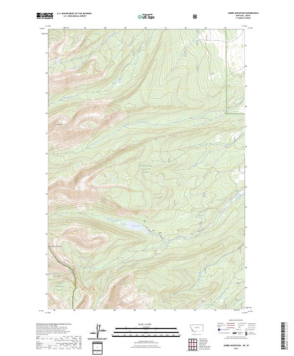
2024 Map of Jumbo Mountain
USGS Topo · Published 2024About this map
Beaverhead National Forest and Salmon National Forest meet at the high ridges of the Continental Divide, marking the border between Lemhi and Beaverhead counties. This mountain landscape is defined by its drainage systems, with Rock Creek, Moose Creek, and Holland Creek flowing through the north, while Big Lake Creek feeds the prominent Twin Lakes to the south. The terrain is navigated primarily by high-altitude paths, most notably the Continental Divide National Scenic Trl which follows the crest of the divide near Jumbo Mtn. Remote backcountry access is further documented through the Carmen Creek Trl, tracing the headwaters of Carmen Creek. The map provides a detailed view of the high-elevation topography and boundary lines that separate these national forests at the state line between Idaho and Montana.
Find a feature on this map
34 named features on this map. Tap any name to fly to it.
Don’t see what you’re looking for? This feature index may not catch every label — zoom into the map to look around manually.
Map Details
Editions of this 2024 Jumbo Mountain Map
This is the sole edition of this map. No revisions or reprints were ever made.
Other maps of this area

1955 · Dillon
USGS Topo · 1:250,000

1957 · Dillon
USGS Topo · 1:250,000

1958 · Dillon
USGS Topo · 1:250,000

1962 · Dillon
USGS Topo · 1:250,000

1965 · Dillon
USGS Topo · 1:250,000

1966 · Badger Spring Gulch
USGS Topo · 1:24,000

1966 · Shewag Lake
USGS Topo · 1:24,000

1966 · Miner Lake
USGS Topo · 1:24,000

1966 · Jumbo Mountain
USGS Topo · 1:24,000

1966 · Big Hole Pass
USGS Topo · 1:24,000