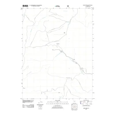
2011 Map of Jump Creek
USGS Topo · Published 2011About this map
The high desert coal-mining landscape of Carbon County is defined by the resource-rich canyons and ridges surrounding the Consumers settlement. This 2011 survey documents a geography where industry and remote ranching intersect, notably at the Swisher Mine and Gordon Creek Mine. The drainage patterns of North Fork Gordon Creek and Jump Creek dictate the layout of access routes like Jump Creek Rd and Benches Rd, which wind through the complex terrain of Bryner Canyon and Coal Canyon. Family-held lands and agricultural outposts such as Cedar Mesa Ranch and Omans Ranch persist alongside the extraction sites, providing a localized view of the region's dual economic identity. Further traces of the area's industrial footprint are found at the Clear Creek Mines and the appropriately named Coal City, illustrating the deep-seated reliance on the local geology that has shaped these high-altitude communities for decades.
Find a feature on this map
30 named features on this map. Tap any name to fly to it.
Don’t see what you’re looking for? This feature index may not catch every label — zoom into the map to look around manually.
Map Details
Editions of this 2011 Jump Creek Map
This is the sole edition of this map. No revisions or reprints were ever made.
Other maps of this area
1885 · Manti
USGS Topo · 1:250,000
1886 · Price River
USGS Topo · 1:250,000
1895 · Manti
USGS Topo · 1:250,000
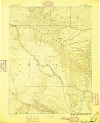
1896 · Price River
USGS Topo · 1:250,000
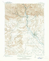
1914 · Castle Gate
USGS Topo · 1:62,500
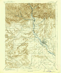
1916 · Castle Gate
USGS Topo · 1:62,500
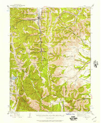
1923 · Scofield
USGS Topo · 1:62,500
1925 · Scofield
USGS Topo · 1:62,500
1939 · Soldier Summit
USGS Topo · 1:62,500
1942 · Soldier Summit
USGS Topo · 1:62,500