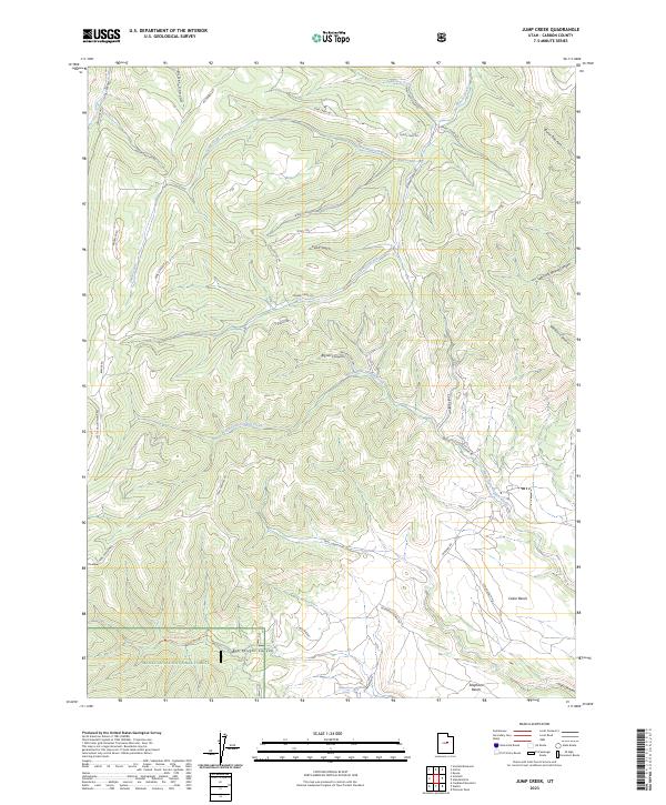
2023 Map of Jump Creek
USGS Topo · Published 2023About this map
The Manti-La Sal National Forest dominates the southern boundary of this high-elevation region, where deep canyons and plateaus define the landscape. This 2023 survey illustrates an intricate network of forest access roads and trails, such as Trail Canyon Rd and Big Rocks Trl, that navigate the complex drainage systems of North Fork Gordon Creek and Jump Creek. Settlement is minimal, focused on small locales like The Elbow and the expansive Telephone Bench, where Summerhouse Spring provides a vital water source in the arid terrain. The map captures a landscape of named family and geographical landmarks, including Pete's Top, Bryner Canyon, and Bob Wright Canyon, which suggest a history of grazing or early exploration. These topographic details reveal how the natural geography dictated the placement of historic routes like Consumers Rd and Castle Valley Ridge Rd along the ridges and gulches of Carbon County.
Find a feature on this map
41 named features on this map. Tap any name to fly to it.
Don’t see what you’re looking for? This feature index may not catch every label — zoom into the map to look around manually.
Map Details
Editions of this 2023 Jump Creek Map
This is the sole edition of this map. No revisions or reprints were ever made.
Other maps of this area

1885 · Manti
USGS Topo · 1:250,000

1886 · Price River
USGS Topo · 1:250,000

1895 · Manti
USGS Topo · 1:250,000

1896 · Price River
USGS Topo · 1:250,000

1914 · Castle Gate
USGS Topo · 1:62,500

1916 · Castle Gate
USGS Topo · 1:62,500

1923 · Scofield
USGS Topo · 1:62,500

1925 · Scofield
USGS Topo · 1:62,500

1939 · Soldier Summit
USGS Topo · 1:62,500

1942 · Soldier Summit
USGS Topo · 1:62,500