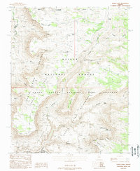
1988 Map of Jumpup Point
USGS Topo · Published 1988About this map
Kanab Creek Wilderness and the Grand Canyon National Game Preserve dominate this remote northern Arizona landscape, where the plateaus of the Kaibab National Forest drop into deep drainage systems. The map captures a high-desert environment defined by seasonal water sources and steep-walled canyons, including the dramatic turn of the Gooseneck and the descent into Kanab Canyon.
Find a feature on this map
37 named features on this map. Tap any name to fly to it.
Don’t see what you’re looking for? This feature index may not catch every label — zoom into the map to look around manually.
Map Details
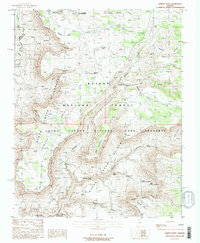
Editions of this 1988 Jumpup Point Map
2 editions found
Other maps of this area

1886 · Kaibab
USGS Topo · 1:250,000

1953 · Grand Canyon
USGS Topo · 1:250,000

1957 · Grand Canyon
USGS Topo · 1:250,000

1957 · Jumpup Canyon
USGS Topo · 1:62,500

1958 · Grand Canyon
USGS Topo · 1:250,000

1958 · Big Springs
USGS Topo · 1:62,500

1960 · Grand Canyon
USGS Topo · 1:250,000

1962 · Kanab Point
USGS Topo · 1:62,500
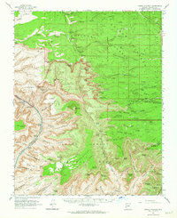
1962 · Powell Plateau
USGS Topo · 1:62,500

1984 · Grand Canyon
USGS Topo · 1:100,000