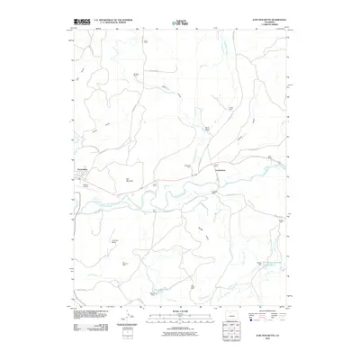
2010 Map of Junction Butte
USGS Topo · Published 2010About this map
Colorado River carves a central path through this landscape, defining a valley shared by longstanding ranching operations and vital irrigation works. The settlement of Troublesome sits at the confluence with Troublesome Creek, while the eastern edge of Kremmling appears near McElroy Airfield. This area is characterized by a complex network of man-made water management features, including the Barger Ditch, Kenny Barger Ditch, and Big Lake Ditch, which support the numerous family-held properties such as Cantril Ranch and Taussig Ranch.
Find a feature on this map
48 named features on this map. Tap any name to fly to it.
Don’t see what you’re looking for? This feature index may not catch every label — zoom into the map to look around manually.
Map Details
Editions of this 2010 Junction Butte Map
This is the sole edition of this map. No revisions or reprints were ever made.
Other maps of this area

1933 · Mt. Powell
USGS Topo · 1:48,000

1933 · Ute Peak
USGS Topo · 1:62,500

1937 · Ute Peak
USGS Topo · 1:62,500

1940 · Mount Powell
USGS Topo · 1:62,500

1954 · Craig
USGS Topo · 1:250,000

1956 · Kremmling
USGS Topo · 1:62,500

1957 · Craig
USGS Topo · 1:250,000

1957 · Hot Sulphur Springs
USGS Topo · 1:62,500

1957 · Leadville
USGS Topo · 1:250,000

1958 · Craig
USGS Topo · 1:250,000