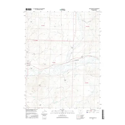
2016 Map of Junction Butte
USGS Topo · Published 2016About this map
Kremmling and the surrounding ranching and riparian lands of Grand County are detailed in this survey, where the Colorado River meets a complex network of irrigation systems and mountain tributaries. The map documents an intricate water management landscape, including the Barger Ditch, Kenny Barger Ditch, and Big Lake Ditch, which redirect water from the river and Troublesome Cr to support the local agricultural economy. Just east of the primary townsite, the small settlement of Troublesome sits near the confluence of its namesake creek and the river.
Find a feature on this map
50 named features on this map. Tap any name to fly to it.
Don’t see what you’re looking for? This feature index may not catch every label — zoom into the map to look around manually.
Map Details
Editions of this 2016 Junction Butte Map
This is the sole edition of this map. No revisions or reprints were ever made.
Other maps of this area

1933 · Mt. Powell
USGS Topo · 1:48,000

1933 · Ute Peak
USGS Topo · 1:62,500

1937 · Ute Peak
USGS Topo · 1:62,500

1940 · Mount Powell
USGS Topo · 1:62,500

1954 · Craig
USGS Topo · 1:250,000

1956 · Kremmling
USGS Topo · 1:62,500

1957 · Craig
USGS Topo · 1:250,000

1957 · Hot Sulphur Springs
USGS Topo · 1:62,500

1957 · Leadville
USGS Topo · 1:250,000

1958 · Craig
USGS Topo · 1:250,000