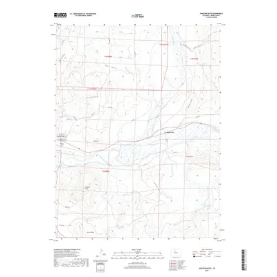
2019 Map of Junction Butte
USGS Topo · Published 2019About this map
Kremmling serves as a vital mountain hub in this High Country landscape, situated at the confluence of several key drainages and the Colorado River. The town grid, featuring Central Ave and Park Ave, is positioned just west of the settlement of Troublesome. This region is defined by an extensive network of irrigation infrastructure essential for high-altitude ranching, including the Ennis Ditch, Barger Ditch, and Pheney Lateral Ditch.
Find a feature on this map
48 named features on this map. Tap any name to fly to it.
Don’t see what you’re looking for? This feature index may not catch every label — zoom into the map to look around manually.
Map Details
Editions of this 2019 Junction Butte Map
This is the sole edition of this map. No revisions or reprints were ever made.
Other maps of this area

1933 · Mt. Powell
USGS Topo · 1:48,000

1933 · Ute Peak
USGS Topo · 1:62,500

1937 · Ute Peak
USGS Topo · 1:62,500

1940 · Mount Powell
USGS Topo · 1:62,500

1954 · Craig
USGS Topo · 1:250,000

1956 · Kremmling
USGS Topo · 1:62,500

1957 · Craig
USGS Topo · 1:250,000

1957 · Hot Sulphur Springs
USGS Topo · 1:62,500

1957 · Leadville
USGS Topo · 1:250,000

1958 · Craig
USGS Topo · 1:250,000