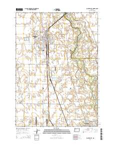
2014 Map of Junction City
USGS Topo · Published 2014About this map
Junction City sits at a critical valley crossroads, where the agricultural flats of the southern Willamette Valley meet the winding course of the Willamette River. This 2014 survey reveals a landscape defined by the intersection of high-speed transit and historical river navigation, with the northern edge of Eugene expanding toward the established aviation hubs of Mahlon Sweet Field Airport and the smaller Strauch Field Airport. The river itself remains dynamic, carving out features like Harrisburg Bend, Horseshoe Bar, and Bells Shute Bar that speak to the shifting silt and gravel of the waterway.
Find a feature on this map
65 named features on this map. Tap any name to fly to it.
Don’t see what you’re looking for? This feature index may not catch every label — zoom into the map to look around manually.
Map Details
Editions of this 2014 Junction City Map
This is the sole edition of this map. No revisions or reprints were ever made.
Other maps of this area

1909 · Harrisburg
USGS Topo · 1:31,680

1909 · Rowland
USGS Topo · 1:31,680

1909 · Elmira
USGS Topo · 1:62,500

1910 · Eugene
USGS Topo · 1:62,500

1911 · Monroe
USGS Topo · 1:31,680

1912 · Halsey
USGS Topo · 1:62,500

1922 · Monroe
USGS Topo · 1:62,500

1922 · Elmira
USGS Topo · 1:62,500

1939 · Monroe
USGS Topo · 1:62,500

1940 · Eugene
USGS Topo · 1:62,500