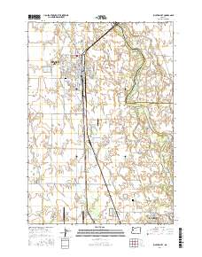
2017 Map of Junction City
USGS Topo · Published 2017About this map
Junction City serves as the focal point of this 2017 survey, sitting at the intersection of agricultural land and the shifting hydrology of the Willamette River. The map documents a complex network of sloughs and bends, including Marshall Slough and Harpers Bend, which define the landscape east of the city. Aviation history and modern transport are prominent, with the northern reaches of Mahlon Sweet Field (the Eugene airport) and Munson Airport anchoring the north and south.
Find a feature on this map
92 named features on this map. Tap any name to fly to it.
Don’t see what you’re looking for? This feature index may not catch every label — zoom into the map to look around manually.
Map Details
Editions of this 2017 Junction City Map
This is the sole edition of this map. No revisions or reprints were ever made.
Other maps of this area
1909 · Harrisburg
USGS Topo · 1:31,680
1909 · Rowland
USGS Topo · 1:31,680
1909 · Elmira
USGS Topo · 1:62,500
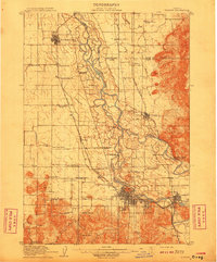
1910 · Eugene
USGS Topo · 1:62,500
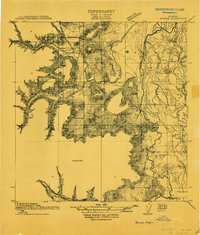
1911 · Monroe
USGS Topo · 1:31,680
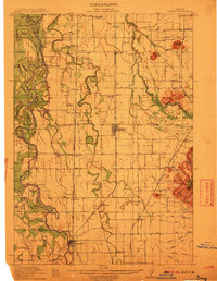
1912 · Halsey
USGS Topo · 1:62,500
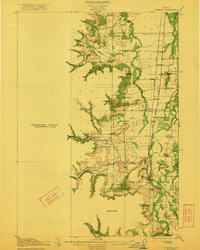
1922 · Monroe
USGS Topo · 1:62,500
1922 · Elmira
USGS Topo · 1:62,500
1939 · Monroe
USGS Topo · 1:62,500
1940 · Eugene
USGS Topo · 1:62,500