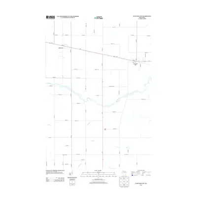
2013 Map of Junction City
USGS Topo · Published 2013About this map
The village of Junction City and the neighboring settlement of Milladore anchor this central Wisconsin landscape, positioned where major transportation corridors intersect. The map illustrates a community shaped by the path of Us-10 and Wi-34, which cut across a terrain defined by subtle drainage patterns rather than dramatic elevation. This 2013 survey details the rural road network, where family-named routes like Mallek Rd, Pacyna Rd, and Trestik Rd hint at the area's agricultural lineage and genealogical history.
Find a feature on this map
59 named features on this map. Tap any name to fly to it.
Don’t see what you’re looking for? This feature index may not catch every label — zoom into the map to look around manually.
Map Details
Editions of this 2013 Junction City Map
This is the sole edition of this map. No revisions or reprints were ever made.
Other maps of this area

1955 · Green Bay
USGS Topo · 1:250,000

1956 · Milladore
USGS Topo · 1:48,000

1956 · Stevens Point
USGS Topo · 1:48,000

1957 · Wisconsin Rapids
USGS Topo · 1:48,000

1957 · Whiting
USGS Topo · 1:48,000

1967 · Wisconsin Rapids
USGS Topo · 1:62,500

1970 · Junction City
USGS Topo · 1:24,000
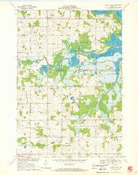
1970 · Honey Island
USGS Topo · 1:24,000
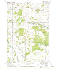
1970 · Sherry
USGS Topo · 1:24,000
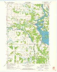
1970 · Rocky Run
USGS Topo · 1:24,000