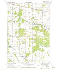
1970 Map of Sherry
USGS Topo · Published 1972About this map
Mill Creek and Hemlock Creek drain this rural stretch of Wood County, where the transition from agriculture to small-town rail stops defines the landscape. The Soo Line and Chicago and North Western railroads anchor the northern and southern portions of the territory, supporting the growth of Auburndale and Milladore. Notable for its specific community landmarks, the map records the dual-named Blenker (Sherry Sta) and the original Sherry settlement, alongside several gravel pits and quarries that suggest local extraction industries.
Find a feature on this map
26 named features on this map. Tap any name to fly to it.
Don’t see what you’re looking for? This feature index may not catch every label — zoom into the map to look around manually.
Map Details
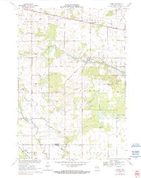
Editions of this 1970 Sherry Map
2 editions found
Other maps of this area

1953 · Eau Claire
USGS Topo · 1:250,000

1954 · Marshfield
USGS Topo · 1:62,500

1955 · Green Bay
USGS Topo · 1:250,000

1956 · Milladore
USGS Topo · 1:48,000

1957 · Wisconsin Rapids
USGS Topo · 1:48,000

1957 · Pittsville
USGS Topo · 1:48,000

1958 · Eau Claire
USGS Topo · 1:250,000

1964 · Eau Claire
USGS Topo · 1:250,000

1967 · Wisconsin Rapids
USGS Topo · 1:62,500

1967 · Pittsville
USGS Topo · 1:62,500