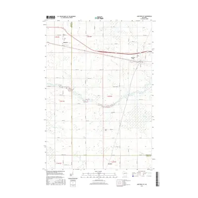
2015 Map of Junction City
USGS Topo · Published 2015About this map
Junction City and Milladore anchor this Central Wisconsin landscape along the border of Wood and Portage Counties. The area is characterized by a dense grid of rural roads and the drainage patterns of Mill Creek and Hayden Cr, which feed into the expansive Fogarty Marsh to the east. For genealogists and local historians, the map preserves the locations of several burial grounds, including Saint Wenceslaus Cem, Saint Michael Cem, and Union Cem, often situated near the crossroads of these early agricultural communities. The terrain is largely level, though distinct elevations like Rock Hill rise above the surrounding creek beds. Further south, the map reaches toward the village of Rudolph, showing the persistence of small-town centers and parish life in the modern era.
Find a feature on this map
65 named features on this map. Tap any name to fly to it.
Don’t see what you’re looking for? This feature index may not catch every label — zoom into the map to look around manually.
Map Details
Editions of this 2015 Junction City Map
This is the sole edition of this map. No revisions or reprints were ever made.
Other maps of this area

1955 · Green Bay
USGS Topo · 1:250,000

1956 · Milladore
USGS Topo · 1:48,000

1956 · Stevens Point
USGS Topo · 1:48,000

1957 · Wisconsin Rapids
USGS Topo · 1:48,000

1957 · Whiting
USGS Topo · 1:48,000

1967 · Wisconsin Rapids
USGS Topo · 1:62,500

1970 · Junction City
USGS Topo · 1:24,000
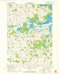
1970 · Honey Island
USGS Topo · 1:24,000
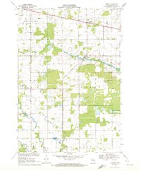
1970 · Sherry
USGS Topo · 1:24,000
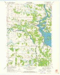
1970 · Rocky Run
USGS Topo · 1:24,000