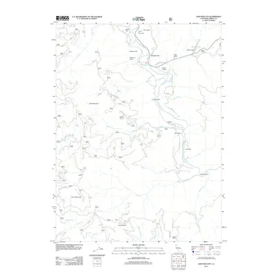
2012 Map of Junction City
USGS Topo · Published 2012About this map
Junction City sits at the confluence of the Trinity River and Canyon Cr, serving as a central point in this Northern California landscape. The settlement pattern follows the river benches and creek drainages, evident in locations like Benjamin Flat, Hocker Flat, and Clems Flat. These flatlands provide rare level ground amidst the steep terrain defined by the Hayfork Divide and Barker Mountain.
Find a feature on this map
51 named features on this map. Tap any name to fly to it.
Don’t see what you’re looking for? This feature index may not catch every label — zoom into the map to look around manually.
Map Details
Editions of this 2012 Junction City Map
This is the sole edition of this map. No revisions or reprints were ever made.
Other maps of this area
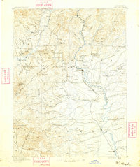
1890 · Red Bluff
USGS Topo · 1:250,000
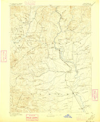
1894 · Red Bluff
USGS Topo · 1:250,000
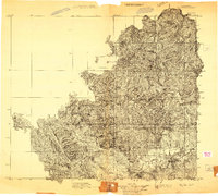
1909 · Big Bar
USGS Topo · 1:96,000
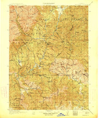
1913 · Weaverville
USGS Topo · 1:125,000
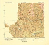
1915 · Big Bar and Vicinity
USGS Topo · 1:250,000
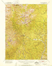
1950 · Minersville
USGS Topo · 1:62,500
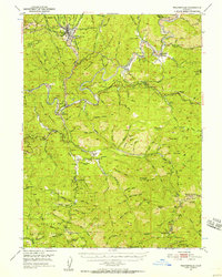
1950 · Weaverville
USGS Topo · 1:62,500
1951 · Hayfork
USGS Topo · 1:62,500
1951 · Helena
USGS Topo · 1:62,500
1952 · Weaverville
USGS Topo · 1:62,500