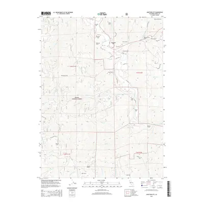
2015 Map of Junction City
USGS Topo · Published 2015About this map
Junction City serves as the focal point of this Northern California survey, situated where Canyon Cr meets the winding Trinity River. This landscape is defined by its gold-rush era topography, with numerous gravel flats and bars named for early inhabitants and mining activities. Notable riverfront features include Evans Bar, Benjamin Flat, and Hocker Flat, while further downstream lies Johnson Point.
Find a feature on this map
58 named features on this map. Tap any name to fly to it.
Don’t see what you’re looking for? This feature index may not catch every label — zoom into the map to look around manually.
Map Details
Editions of this 2015 Junction City Map
This is the sole edition of this map. No revisions or reprints were ever made.
Other maps of this area

1890 · Red Bluff
USGS Topo · 1:250,000

1894 · Red Bluff
USGS Topo · 1:250,000

1909 · Big Bar
USGS Topo · 1:96,000

1913 · Weaverville
USGS Topo · 1:125,000

1915 · Big Bar and Vicinity
USGS Topo · 1:250,000

1950 · Minersville
USGS Topo · 1:62,500

1950 · Weaverville
USGS Topo · 1:62,500

1951 · Hayfork
USGS Topo · 1:62,500

1951 · Helena
USGS Topo · 1:62,500

1952 · Weaverville
USGS Topo · 1:62,500