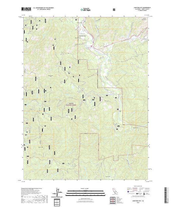
2022 Map of Junction City
USGS Topo · Published 2022About this map
Junction City serves as the central hub of this Northern California landscape, situated at the confluence of several gulches and the Trinity Wild and Scenic River. The terrain is defined by the steep rises of the Salmon Mountains to the north and the Hayfork Divide to the south, with the land protected within the Trinity National Forest. Historically significant riverfront locations like Evans Bar and Hocker Flat mark the winding path of the Trinity, while inland landmarks such as Benjamin Flat and Clems Flat indicate small level pockets in the otherwise vertical geography. Local water sources including Slattery Pond and Dog Run Spring provide vital points of interest for researchers of the area's hydrology and land use. The map also traces the network of mountain roads like Dutch Creek Rd and Red Hill Rd, which connect these dispersed settlements across the ridgelines.
Find a feature on this map
48 named features on this map. Tap any name to fly to it.
Don’t see what you’re looking for? This feature index may not catch every label — zoom into the map to look around manually.
Map Details
Editions of this 2022 Junction City Map
This is the sole edition of this map. No revisions or reprints were ever made.
Other maps of this area

1890 · Red Bluff
USGS Topo · 1:250,000

1894 · Red Bluff
USGS Topo · 1:250,000

1909 · Big Bar
USGS Topo · 1:96,000

1913 · Weaverville
USGS Topo · 1:125,000

1915 · Big Bar and Vicinity
USGS Topo · 1:250,000

1950 · Minersville
USGS Topo · 1:62,500

1950 · Weaverville
USGS Topo · 1:62,500

1951 · Hayfork
USGS Topo · 1:62,500

1951 · Helena
USGS Topo · 1:62,500

1952 · Weaverville
USGS Topo · 1:62,500