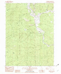
1982 Map of Junction City
USGS Topo · Published 1982About this map
Junction City sits at the northern heart of this landscape, where Canyon Creek meets the Trinity River. The river corridor is defined by its industrial history, with extensive deposits of tailings mapped along the banks from Benjamin Flat down to Evans Bar. These markings reveal the legacy of hydraulic and placer mining that reshaped the valley floor long before this 1980s field check.
Find a feature on this map
47 named features on this map. Tap any name to fly to it.
Don’t see what you’re looking for? This feature index may not catch every label — zoom into the map to look around manually.
Map Details
Editions of this 1982 Junction City Map
This is the sole edition of this map. No revisions or reprints were ever made.
Other maps of this area

1890 · Red Bluff
USGS Topo · 1:250,000

1894 · Red Bluff
USGS Topo · 1:250,000

1909 · Big Bar
USGS Topo · 1:96,000

1913 · Weaverville
USGS Topo · 1:125,000

1915 · Big Bar and Vicinity
USGS Topo · 1:250,000

1950 · Minersville
USGS Topo · 1:62,500

1950 · Weaverville
USGS Topo · 1:62,500

1951 · Hayfork
USGS Topo · 1:62,500

1951 · Helena
USGS Topo · 1:62,500

1952 · Weaverville
USGS Topo · 1:62,500