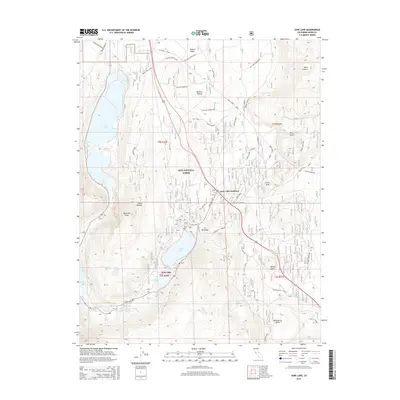
2015 Map of June Lake
USGS Topo · Published 2015About this map
June Lake and the surrounding alpine basin are the focal point of this Eastern Sierra landscape within the Inyo National Forest. The geography is defined by a horseshoe-shaped valley carved into the Sierra Nevada, where the settlement of June Lake sits between its namesake waters and Gull Lake. The presence of the June Lake Loop road system highlights the area's long-standing role as a recreational gateway.
Find a feature on this map
54 named features on this map. Tap any name to fly to it.
Don’t see what you’re looking for? This feature index may not catch every label — zoom into the map to look around manually.
Map Details
Editions of this 2015 June Lake Map
This is the sole edition of this map. No revisions or reprints were ever made.
Other maps of this area

1901 · Mt. Lyell
USGS Topo · 1:125,000

1914 · Mt. Morrison
USGS Topo · 1:125,000

1947 · Mariposa
USGS Topo · 1:250,000

1948 · Mariposa
USGS Topo · 1:250,000

1953 · Mt. Morrison
USGS Topo · 1:62,500

1953 · Mono Craters
USGS Topo · 1:62,500

1953 · Devils Postpile
USGS Topo · 1:62,500

1957 · Mariposa
USGS Topo · 1:250,000

1962 · Cowtrack Mtn
USGS Topo · 1:62,500

1963 · Mariposa
USGS Topo · 1:250,000